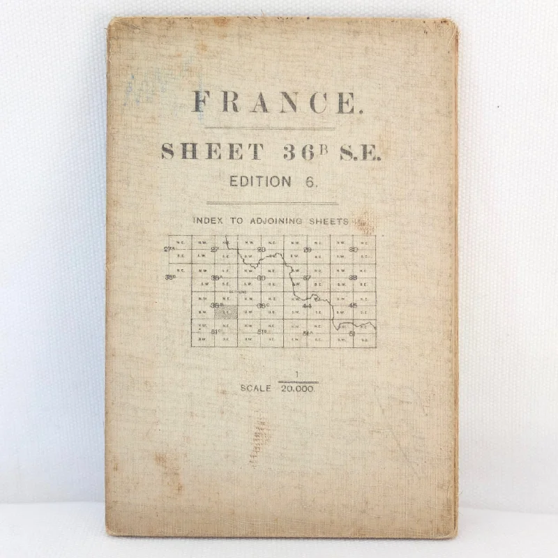
TRENCH MAP 36B S.E.
Edition 6, 1/20,000
CARENCY, VILLIERS AU BOIS, ABLAIN ST. NAZAIRE, NOTRE DAME DE LORETTE, BOIS d’OLHAIN, HERMIN, MINGOVAL, AIX NOULETTE, BOIS DE BOUVIGNY
ORDANANCE SURVEY, London, 1916
An original WW1 Trench Map, published in 1916. This map would have been used both by troops on the way to the front line and RFC pilots and observers. This is sheet 36B S.E., showing the area around Carency, which is is 8 miles North West of Arras and was heavily damaged during WW1.Carency is often associated with the landmine warfare that marked the first few months of 1915. Making little progress in the capture of the village, the French Army decided in December 1914 to engage in an underground war in the hope that it would push the Germans back. They started tunnelling across the front line to place powerful explosive mines under the enemy's positions. This turned into a war of attrition with both armies using mines to devastating effect. The village was eventually recaptured, albeit in ruins, from the Germans on 9 May 1915 during a vast French offensive.
Ablain-Saint-Nazaire, lying at the foot of Lorette Hill, was occupied early in the war, in October 1914. The Germans fortified and successfully defended the village until it was permanently retaken by the French Army in May 1915.
In the aftermath of the war Ablain-Saint-Nazaire was little more than a field of rubble but reconstruction was swift and complete by 1924. The new church and the new town hall are enduring examples of the reconstruction works which, for the most part, were financed by German reparations. The largest French Military Cemetery in the world is situated nearby: the remains of nearly 40,000 soldiers are interred here.
Notre Dame de Lorette: also known as Ablain St.-Nazaire French Military Cemetery, is the world's largest French military cemetery. It is the name of a ridge, basilica, and French national cemetery northwest of Arras at the village of Ablain-Saint-Nazaire. The high point of the hump-backed ridge stands 165 metres high and – with Vimy Ridge – utterly dominates the otherwise flat Douai plain and the town of Arras. The ground was strategically important during the First World War and was bitterly contested in a series of long and bloody engagements between the opposing French and German armies. It was the focal point of three battles between 1914 - 1915.
Condition:
In good condition. The linen cover shows general signs of wear and use and a few marks. The map is in good condition with some wear at the folds.
Published: 1916
Linen-backed folding map
Dimensions: 88cm x 64cm

