A HANDBOOK OF BULGARIA
NAVAL STAFF INTELLLIGENCEI.D. 1155
NAVAL STAFF INTELLIGENCE DIVISION, London, 1920
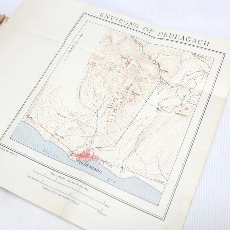
A rare 1920 edition of the British Naval Staff Intelligence Handbook of Bulgaria. The handbook includes a brief survey of the physical conditions of the region (geography, geology, climate, etc), the peoples and territories, and the historical and political background. There are also sections on railway routes and a gazetteer of towns and cities. The main part of the handbook is made up of detailed routes and itineraries covering the various towns, cities and regions, with in-depth instructions on how to proceed from place to place and all the features and landmarks that would be encountered. The handbook is illustrated with photographic plates and three coloured fold-out maps. This handbook would no doubt have been an invaluable reference work for officers operating in this region just after the First World War.
Naval Staff Intelligence Division: The Naval Intelligence Division (NID) was created as part of the Admiralty War Staff in 1912, and was the intelligence arm of the British Admiralty before the establishment of a unified Defence Intelligence Staff in 1964. It dealt with matters concerning British naval plans, and with the collection of naval intelligence. It was also known as "Room 39", after its room number at the Admiralty. The department produced a series of handbooks during WW1 to aid the allied war effort and provide intelligence for officers in all branches of the armed services.
Condition:
In good condition, ex-university library. The boards are in good condition, with signs of wear at the spine and edges, fading, and a few marks. There is an index number and sticker removal mark to the spine. The binding and hinges are good and secure. The text is in very good condition, with some library markings, and university library stamps to the endpapers and title page. The three folding maps are in very good condition.
Published: 1920
Blue boards with gilt titling
Illustrated with photographic plates and fold out maps
Dimensions: 130mm x 180mm
Pages: 536

